A wayfinding graph consists of nodes and edges that define the navigable aisles and floor transitions in the venue. The IndoorAtlas web tool provides a tool for creating wayfinding graphs in your IndoorAtlas locations.
The wayfinding graph is used in the IndoorAtlas SDK to find the route from the user’s current location to the desired destination.
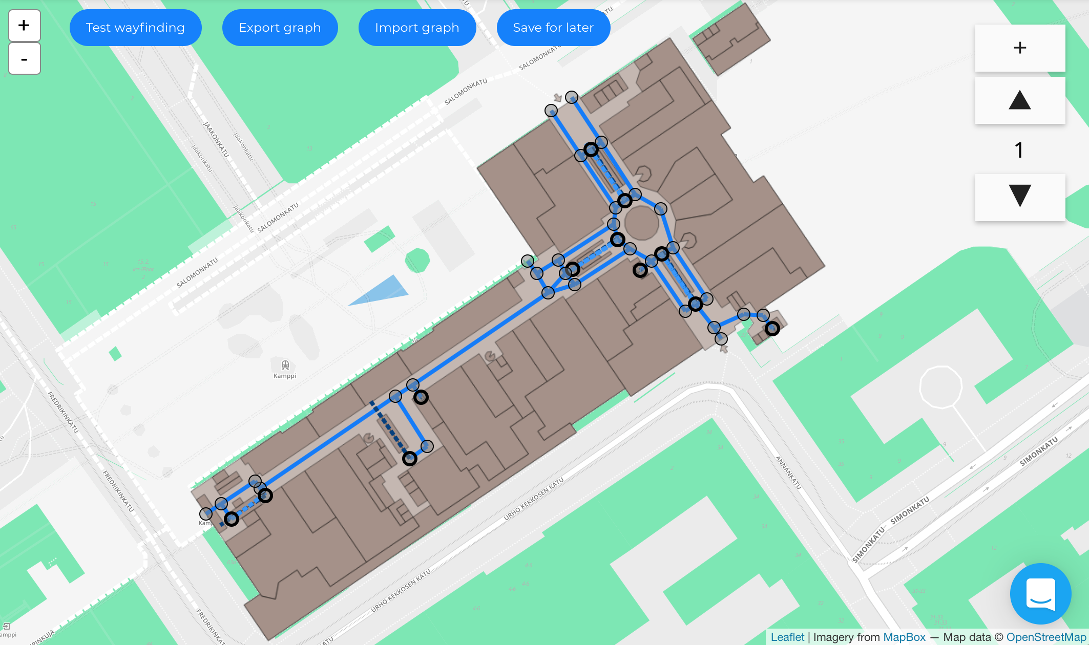
The image below shows a floor with a wayfinding graph. Note that the graph has the following features:
- Links between outdoors and indoors
- Links between floor levels
Routing using the graph has the following characteristics:
- Requesting a route from any coordinate first directs the user to the closest edge point (e.g. when starting from outdoors).
- The shortest route along the graph edges is used to guide the user to their destination.